River Info
The Middle Fork of the Vermilion River
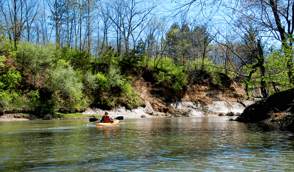
The river carves a meandering path through Illinois’ Grand Prairie glacial deposits, exposing scenic, steep, valley slopes with high bluffs. Most of the area along the river is forested, and there are also several prairie sites. With its sand and gravel bottom, boulders, high bluffs and varied wildlife, the distinctive environment will capture paddlers’ attention as they canoe or kayak through the river.
Designated a National Scenic River in 1989 for its outstanding scenic, recreational, ecological and historical characteristics, it is the first river in Illinois included in the register. The majority of the designated river segment is publicly owned with a wide variety of access opportunities

Our Rivers Wildlife
The Middle Fork river valley supports a great diversity of plants and animals including 57 types of fish, 45 different mammals, and 190 kinds of birds. In the river, you may see mussels, turtles, ducks and other waterfowl, and sunfish, or bass. Along its banks you may see frogs, salamanders, or raccoons. In the trees you may see or hear chickadees, bluebirds, woodpeckers, hawks, and many other birds. The many types of trees include oak, dogwood, walnut, redbud, and ash.
Daily River Conditions
This chart is updated daily, giving you the latest information about the Vermilion Rivers conditions. Below we give you more information on how to know if today is the today for next adventure!
What this Data Means
Over 3.5 feet
Flood stage. Dangerous conditions, expect possible river closures.
Over 2.5 feet – 3.5 feet
Fast moving water, possible dangers include strainers caused by debris in water. Higher river level covers sand and gravel bars; reduced areas available to exit river.
Over 1.5 feet – 2.5 feet
Ideal conditions. At lower levels some shallow areas may require exiting the boat and walking.
Under 1.5 feet
Shallows increase significantly. Many portions not navigable, require walking river with boat. Recommend paddling Vermilion river as alternative option.
